Loading...
Loading map...2021 Map of Talmage
USGS Topo · Published 2021About this map
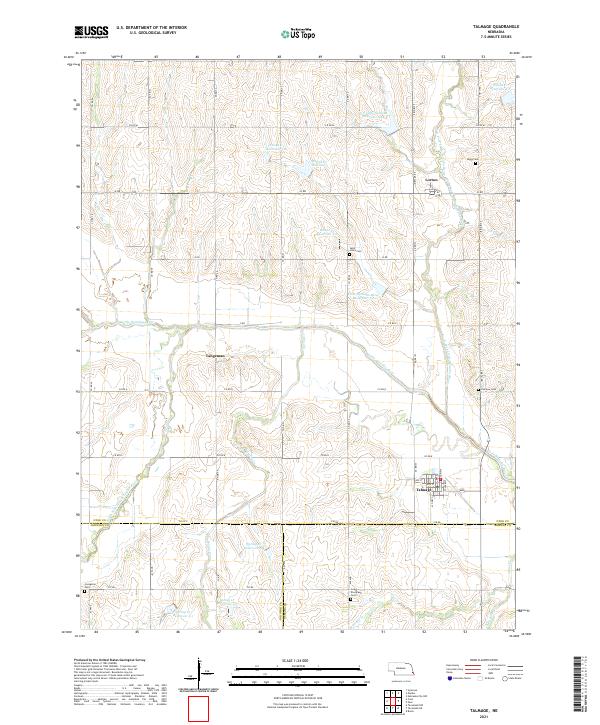
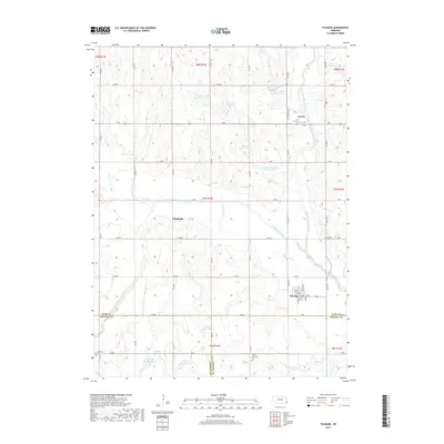
The Little Nemaha River and its various forks carve through this rural landscape on the border of Otoe, Nemaha, and Johnson Counties. The village of Talmage serves as the primary hub, with a distinct street grid featuring Market St and Cedar St. This agricultural region is punctuated by several smaller communities and historical sites, including Lorton to the north and the settlement of Tangeman.
Find a feature on this map
66 named features on this map. Tap any name to fly to it.
Don’t see what you’re looking for? This feature index may not catch every label — zoom into the map to look around manually.
Map Details
Date Portrayed2021
Date Published2021
PublisherU.S. Geological Survey
Map TypeTopographic
Scale1:24,000
Physical Dimensions24 x 29 inches
Editions of this 2021 Talmage Map
This is the sole edition of this map. No revisions or reprints were ever made.
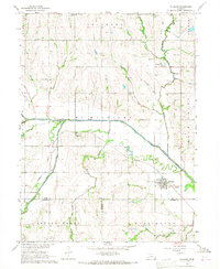
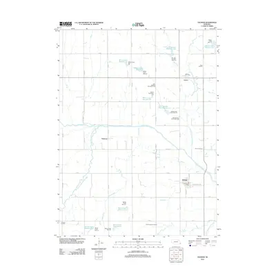
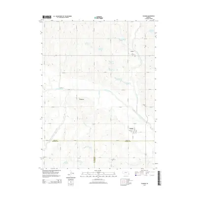
Historical Maps of Talmage Through Time
5 maps found
Featured Locations
Source Details
SourceU.S. Geological Survey
CopyrightPublic Domain