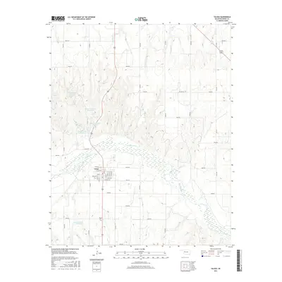
2016 Map of Taloga
USGS Topo · Published 2016About this map
Taloga serves as the focal point of this western Oklahoma landscape, situated along the northern banks of the winding Canadian River. The town's grid is clearly defined by historical thoroughfares such as Main St, Ruble Ave, and Francis St, which reflect the community's established layout in Dewey County. To the south, the Mound Cem provides a significant touchstone for genealogical research and local history.
Find a feature on this map
44 named features on this map. Tap any name to fly to it.
Don’t see what you’re looking for? This feature index may not catch every label — zoom into the map to look around manually.
Map Details
Editions of this 2016 Taloga Map
This is the sole edition of this map. No revisions or reprints were ever made.
Other maps of this area
1955 · Clinton
USGS Topo · 1:250,000
1955 · Woodward
USGS Topo · 1:250,000
1957 · Clinton
USGS Topo · 1:250,000
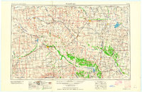
1958 · Woodward
USGS Topo · 1:250,000
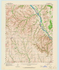
1962 · Putnam
USGS Topo · 1:62,500
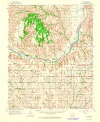
1962 · Aledo
USGS Topo · 1:62,500
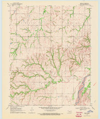
1969 · Lenora
USGS Topo · 1:24,000
1969 · Mutual NE
USGS Topo · 1:24,000
1972 · Hucmac
USGS Topo · 1:24,000
1972 · Seiling
USGS Topo · 1:24,000