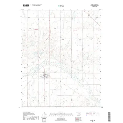
2018 Map of Taloga
USGS Topo · Published 2018About this map
Taloga serves as the focal point of this Dewey County landscape, situated along the northern banks of the winding Canadian River. The town's grid is clearly defined by local streets such as Main St, Shultice Ave, and Riggs Ave, reflecting its role as a regional hub. To the south, the Mound Cem provides a point of genealogical interest, while the surrounding terrain is marked by a network of small reservoirs, including the Kouns Number 1 Reservoir and several numbered features like Taylor Number 4 and Taylor Number 10. These water management features, along with tributaries like Seiling Cr and Cheyenne Cr, illustrate the intersection of agricultural land use and the natural drainage of the High Plains. The map captures a moment of modern rural infrastructure, defined by an extensive system of section-line roads and the prominent route of Lenora Rd.
Find a feature on this map
32 named features on this map. Tap any name to fly to it.
Don’t see what you’re looking for? This feature index may not catch every label — zoom into the map to look around manually.
Map Details
Editions of this 2018 Taloga Map
This is the sole edition of this map. No revisions or reprints were ever made.
Other maps of this area
1955 · Clinton
USGS Topo · 1:250,000
1955 · Woodward
USGS Topo · 1:250,000
1957 · Clinton
USGS Topo · 1:250,000
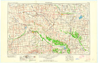
1958 · Woodward
USGS Topo · 1:250,000
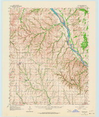
1962 · Putnam
USGS Topo · 1:62,500
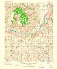
1962 · Aledo
USGS Topo · 1:62,500
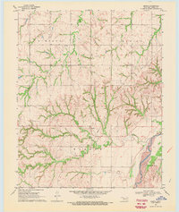
1969 · Lenora
USGS Topo · 1:24,000
1969 · Mutual NE
USGS Topo · 1:24,000
1972 · Hucmac
USGS Topo · 1:24,000
1972 · Seiling
USGS Topo · 1:24,000