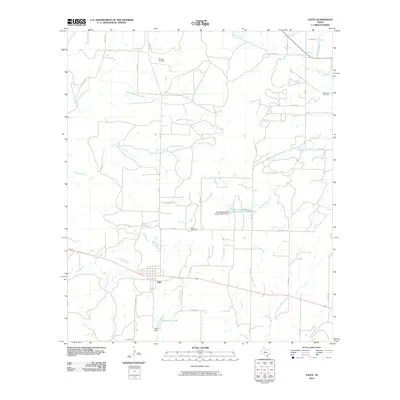
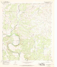
2010 Map of Talpa
USGS Topo · Published 2010About this map
Talpa serves as the central hub of this West Texas landscape, positioned at a vital crossroads near the transition between open plains and creek-carved terrain. The settlement’s footprint is clearly defined by its street grid and proximity to Talpa City Lake, which is formed by the Talpa Dam. The surrounding Coleman County countryside is defined by an intricate network of drainage systems, including Mustang Creek, Elm Creek, and Spring Creek, which reflect the region's historical reliance on water management for agriculture and livestock.
Find a feature on this map
38 named features on this map. Tap any name to fly to it.
Don’t see what you’re looking for? This feature index may not catch every label — zoom into the map to look around manually.
Map Details
Editions of this 2010 Talpa Map
This is the sole edition of this map. No revisions or reprints were ever made.
Other maps of this area

1892 · Ballinger
USGS Topo · 1:125,000

1932 · Voss
USGS Topo · 1:62,500

1932 · Paint Rock
USGS Topo · 1:62,500

1954 · Brownwood
USGS Topo · 1:250,000

1967 · Talpa
USGS Topo · 1:24,000

1967 · Novice West
USGS Topo · 1:24,000
1967 · Little Grape Creek
USGS Topo · 1:24,000
1967 · Novice East
USGS Topo · 1:24,000
1967 · Valera
USGS Topo · 1:24,000
1967 · Buffalo Bluff
USGS Topo · 1:24,000