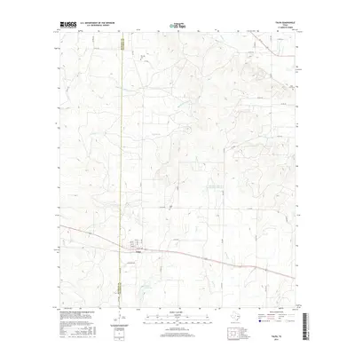
2016 Map of Talpa
USGS Topo · Published 2016About this map
Talpa serves as the central hub of this West Texas landscape, positioned just east of the Runnels Co Coleman Co boundary line. The settlement's grid is clearly defined by residential streets such as Galveston Ave and 2nd St, with the local Talpa Cem situated to the north. Water management is a defining characteristic of the surrounding countryside, seen in the Talpa City Lake and the Soil Conservation Service Site 3 Reservoir nestled among a dense network of seasonal drainages including Mustang Cr, Hords Cr, and Elm Cr.
Find a feature on this map
49 named features on this map. Tap any name to fly to it.
Don’t see what you’re looking for? This feature index may not catch every label — zoom into the map to look around manually.
Map Details
Editions of this 2016 Talpa Map
This is the sole edition of this map. No revisions or reprints were ever made.
Other maps of this area
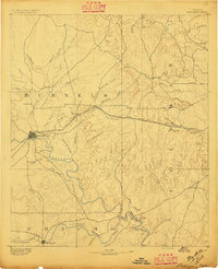
1892 · Ballinger
USGS Topo · 1:125,000
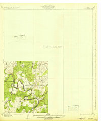
1932 · Voss
USGS Topo · 1:62,500
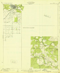
1932 · Paint Rock
USGS Topo · 1:62,500

1954 · Brownwood
USGS Topo · 1:250,000
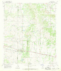
1967 · Talpa
USGS Topo · 1:24,000
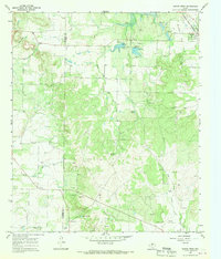
1967 · Novice West
USGS Topo · 1:24,000
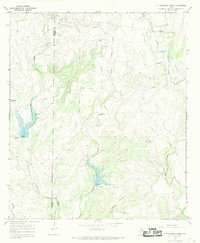
1967 · Little Grape Creek
USGS Topo · 1:24,000
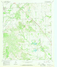
1967 · Novice East
USGS Topo · 1:24,000
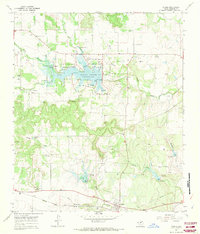
1967 · Valera
USGS Topo · 1:24,000
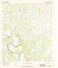
1967 · Buffalo Bluff
USGS Topo · 1:24,000