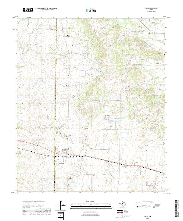
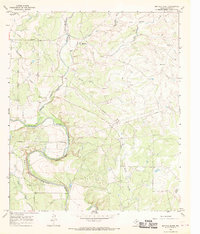
2022 Map of Talpa
USGS Topo · Published 2022About this map
The boundary of Runnels Co Coleman Co divides this West Texas landscape, where the settlement of Talpa serves as the primary community hub. Situated along a network of numbered avenues and streets like Galveston Ave and 4th St, the town is oriented around the local water supply at Talpa City Lake. The surrounding ranching and agricultural land is deeply etched by a complex drainage system, including Middle Mustang Cr, Hords Cr, and Turtle Neck Cr. Local history is anchored by several burial grounds, including the centrally located Talpa Cem, the Herring Cem to the north, and Glen Cove Cem near the eastern margin. Modern water management is evident in the Soil Conservation Service Site 3 Reservoir, which aids in controlling the seasonal flow of Spring Cr through the rolling prairie.
Find a feature on this map
52 named features on this map. Tap any name to fly to it.
Don’t see what you’re looking for? This feature index may not catch every label — zoom into the map to look around manually.
Map Details
Editions of this 2022 Talpa Map
This is the sole edition of this map. No revisions or reprints were ever made.
Other maps of this area

1892 · Ballinger
USGS Topo · 1:125,000

1932 · Voss
USGS Topo · 1:62,500

1932 · Paint Rock
USGS Topo · 1:62,500

1954 · Brownwood
USGS Topo · 1:250,000

1967 · Talpa
USGS Topo · 1:24,000

1967 · Novice West
USGS Topo · 1:24,000
1967 · Little Grape Creek
USGS Topo · 1:24,000
1967 · Novice East
USGS Topo · 1:24,000
1967 · Valera
USGS Topo · 1:24,000
1967 · Buffalo Bluff
USGS Topo · 1:24,000