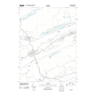
2010 Map of Tamaqua
USGS Topo · Published 2010About this map
Tamaqua and the industrial corridors of the Panther Creek Valley define this 2010 topographic record of Schuylkill County. The landscape is characterized by a sophisticated network of water management and transportation, featuring significant infrastructure such as Arlington Yards and several major dams, including Still Creek Dam and Lake Hauto Dam. These structures sustain the Still Creek Reservoir and Bear Creek Reservoir, illustrating the region's reliance on managed water resources for its residential and industrial sectors.
Find a feature on this map
73 named features on this map. Tap any name to fly to it.
Don’t see what you’re looking for? This feature index may not catch every label — zoom into the map to look around manually.
Map Details
Editions of this 2010 Tamaqua Map
This is the sole edition of this map. No revisions or reprints were ever made.
Other maps of this area

1889 · Hazleton
USGS Topo · 1:62,500

1889 · Pottsville
USGS Topo · 1:62,500

1891 · Hazleton
USGS Topo · 1:62,500

1891 · Pottsville
USGS Topo · 1:62,500

1892 · Mahanoy
USGS Topo · 1:62,500

1893 · Hazleton
USGS Topo · 1:62,500

1893 · Mahanoy
USGS Topo · 1:62,500

1909 · Hamburg
USGS Topo · 1:62,500

1911 · Hamburg
USGS Topo · 1:62,500

1944 · Orwigsburg
USGS Topo · 1:24,000