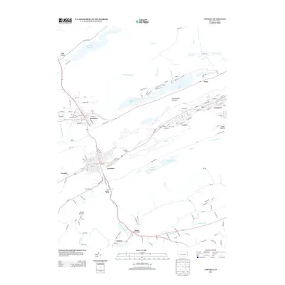
2013 Map of Tamaqua
USGS Topo · Published 2013About this map
The Little Schuylkill River carves through the coal-rich landscape of Pennsylvania’s anthracite region, anchoring the industrial and residential grid of Tamaqua. This 2013 survey illustrates the dense settlement patterns of neighboring Coaldale and Lansford, where streets climb the slopes of Nesquehoning Mountain and Pisgah Mountain. The geography is defined by a series of significant water management features, including the Still Creek Reservoir, Hauto Dam, and several reservoirs along Owl Creek.
Find a feature on this map
147 named features on this map. Tap any name to fly to it.
Don’t see what you’re looking for? This feature index may not catch every label — zoom into the map to look around manually.
Map Details
Editions of this 2013 Tamaqua Map
This is the sole edition of this map. No revisions or reprints were ever made.
Other maps of this area

1889 · Hazleton
USGS Topo · 1:62,500

1889 · Pottsville
USGS Topo · 1:62,500

1891 · Hazleton
USGS Topo · 1:62,500

1891 · Pottsville
USGS Topo · 1:62,500

1892 · Mahanoy
USGS Topo · 1:62,500

1893 · Hazleton
USGS Topo · 1:62,500

1893 · Mahanoy
USGS Topo · 1:62,500

1909 · Hamburg
USGS Topo · 1:62,500

1911 · Hamburg
USGS Topo · 1:62,500

1944 · Orwigsburg
USGS Topo · 1:24,000