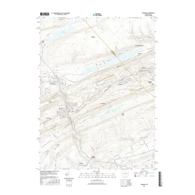
2016 Map of Tamaqua
USGS Topo · Published 2016About this map
The Little Schuylkill River carves through the coal regions of eastern Pennsylvania, centering on the borough of Tamaqua. This 2016 survey illustrates a landscape defined by industrial development and complex topography, where narrow valleys dictate the layout of tightly clustered settlements like Coaldale, Lansford, and Summit Hill. The ridge-and-valley structure is prominent, with Broad Mountain and Nesquehoning Mtn flanking the settled corridors. Local history is reflected in landmarks like the Odd Fellows Cemetery and the series of water management features including the Tamaqua Reservoirs and Hauto Dam. The map details the transition from the dense residential grids of Nesquehoning to the more rural character of South Tamaqua and Zenners, providing a clear view of the transportation network that connects these anthracite-region communities along East Broad Street and Ye Old Hauto Road.
Find a feature on this map
114 named features on this map. Tap any name to fly to it.
Don’t see what you’re looking for? This feature index may not catch every label — zoom into the map to look around manually.
Map Details
Editions of this 2016 Tamaqua Map
This is the sole edition of this map. No revisions or reprints were ever made.
Other maps of this area

1889 · Hazleton
USGS Topo · 1:62,500

1889 · Pottsville
USGS Topo · 1:62,500

1891 · Hazleton
USGS Topo · 1:62,500

1891 · Pottsville
USGS Topo · 1:62,500

1892 · Mahanoy
USGS Topo · 1:62,500

1893 · Hazleton
USGS Topo · 1:62,500

1893 · Mahanoy
USGS Topo · 1:62,500

1909 · Hamburg
USGS Topo · 1:62,500

1911 · Hamburg
USGS Topo · 1:62,500

1944 · Orwigsburg
USGS Topo · 1:24,000