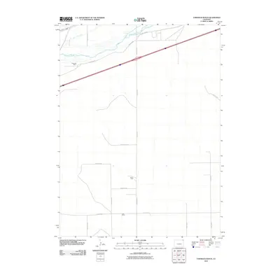
2010 Map of Tamarack Ranch
USGS Topo · Published 2010About this map
The South Platte River cuts through the northern reaches of this Logan County landscape, serving as the primary geographic anchor for a network of irrigation works including the Sprague Brothers Ditch and Long Island Ditch. This 2010 survey reflects a rural agricultural environment characterized by a strictly organized grid of section lines and access routes such as County Rd 50 and County Rd 48. Evidence of local landownership and long-standing agricultural operations is found in the named properties of Tamarack Ranch, Barden Ranch, and Yost Ranch. The map highlights the reliance on river-fed water systems to support ranching in this High Plains region, showing how human engineering has adapted to the arid terrain through a series of ditches and canals that parallel the river's winding course.
Find a feature on this map
19 named features on this map. Tap any name to fly to it.
Don’t see what you’re looking for? This feature index may not catch every label — zoom into the map to look around manually.
Map Details
Editions of this 2010 Tamarack Ranch Map
This is the sole edition of this map. No revisions or reprints were ever made.
Other maps of this area

1952 · Marks Butte
USGS Topo · 1:24,000

1953 · Tamarack Ranch
USGS Topo · 1:24,000

1953 · Crook
USGS Topo · 1:24,000

1953 · Twin Buttes
USGS Topo · 1:24,000

1953 · Julesburg Reservoir
USGS Topo · 1:24,000

1953 · Sedgwick
USGS Topo · 1:24,000

1954 · Sterling
USGS Topo · 1:250,000

1958 · Sterling
USGS Topo · 1:250,000

1962 · Fleming
USGS Topo · 1:24,000

1962 · Haxtun East
USGS Topo · 1:24,000