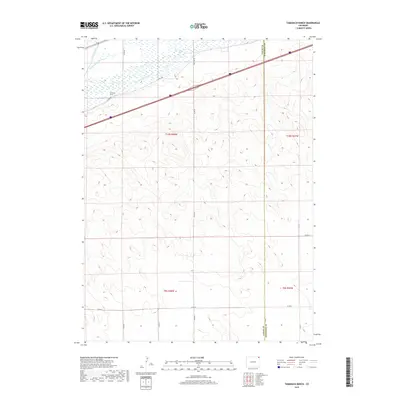
2019 Map of Tamarack Ranch
USGS Topo · Published 2019About this map
South Platte River frontage and agricultural water management define this portion of Logan County, characterized by the intricate irrigation systems of Settlers Ditch and Long Island Ditch. The landscape is anchored by Tamarack Ranch in the northwest, situated just south of the river’s braided channels. This 2019 survey illustrates a predominantly rural and agricultural setting where a grid of county roads, such as Red Lion Rd and Co Rd 89, provides access across the townships of T10N R48W and T9N R48W. The topography shows the gradual rise from the river valley into the surrounding plains, crossing the boundary into Sedgwick County. Researchers can trace the modern road network including Co Rd 385 as it intersects with local ranching history and the vital water infrastructure that supports life in this arid region of Northeast Colorado.
Find a feature on this map
18 named features on this map. Tap any name to fly to it.
Don’t see what you’re looking for? This feature index may not catch every label — zoom into the map to look around manually.
Map Details
Editions of this 2019 Tamarack Ranch Map
This is the sole edition of this map. No revisions or reprints were ever made.
Other maps of this area
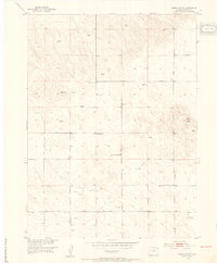
1952 · Marks Butte
USGS Topo · 1:24,000
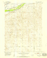
1953 · Tamarack Ranch
USGS Topo · 1:24,000
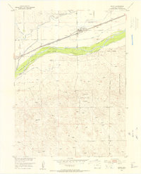
1953 · Crook
USGS Topo · 1:24,000
1953 · Twin Buttes
USGS Topo · 1:24,000
1953 · Julesburg Reservoir
USGS Topo · 1:24,000
1953 · Sedgwick
USGS Topo · 1:24,000
1954 · Sterling
USGS Topo · 1:250,000
1958 · Sterling
USGS Topo · 1:250,000
1962 · Fleming
USGS Topo · 1:24,000
1962 · Haxtun East
USGS Topo · 1:24,000