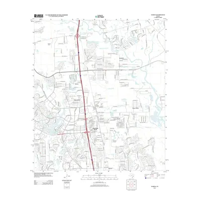
2013 Map of Tamina
USGS Topo · Published 2013About this map
Shenandoah and Oak Ridge North anchor this suburban landscape as it appeared in the early 21st century, bisected by a major interstate corridor. The map reveals a complex interface between rapid residential development and older rural roots, notably seen in the community of Tamina and its namesake Tamina Cem. Water defines much of the eastern and western edges, from the W Fork San Jacinto River to the engineered Lake Woodlands. The presence of the Rayford Oil Field near Rayford serves as a reminder of the region's industrial foundations amidst expanding neighborhoods like Chateau Woods and Sleepy Hollow. Small-scale water features such as Grants Lake and Old Boggy Slough highlight the low-lying drainage patterns typical of the Gulf Coast plains before they join larger systems like White Oak Cr.
Find a feature on this map
296 named features on this map. Tap any name to fly to it.
Don’t see what you’re looking for? This feature index may not catch every label — zoom into the map to look around manually.
Map Details
Editions of this 2013 Tamina Map
This is the sole edition of this map. No revisions or reprints were ever made.
Other maps of this area

1916 · Louetta
USGS Topo · 1:24,000

1916 · Spring
USGS Topo · 1:24,000

1919 · Weeden
USGS Topo · 1:31,680

1920 · Spring
USGS Topo · 1:31,680

1920 · Louetta
USGS Topo · 1:31,680

1954 · Beaumont
USGS Topo · 1:250,000

1957 · Beaumont
USGS Topo · 1:250,000

1958 · Conroe
USGS Topo · 1:24,000

1958 · Cowl Spur
USGS Topo · 1:24,000

1959 · Outlaw Pond
USGS Topo · 1:24,000