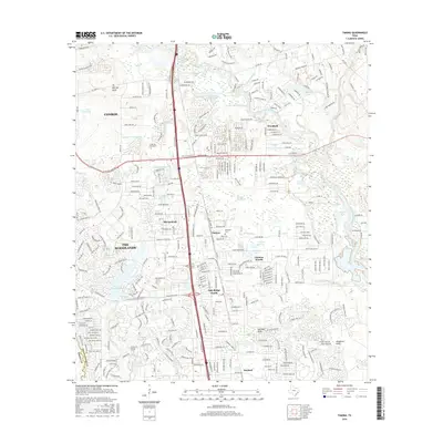
2016 Map of Tamina
USGS Topo · Published 2016About this map
Tamina and the burgeoning suburban landscape north of Houston are documented in this mid-2010s survey. The map shows the dense residential and commercial expansion of The Woodlands and Shenandoah, contrasted with the smaller, established communities of Oak Ridge North and Chateau Woods. The historic Wilburton Cem stands as a point of interest for genealogists amidst the rapid development of the Interstate 45 corridor. The hydrological landscape is dominated by the West Fork San Jacinto River and its numerous tributaries such as Harpers Horsepen Br and Rice Br. Notable water bodies like Lake Woodlands and the series of lakes including Johnson Lakes, Shadow Lake, and Barefoot Lake illustrate how the natural topography has been integrated into the modern master-planned environment. Educational infrastructure is anchored by the Lone Star Coll System campus, signaling the area's growth as a regional center.
Find a feature on this map
180 named features on this map. Tap any name to fly to it.
Don’t see what you’re looking for? This feature index may not catch every label — zoom into the map to look around manually.
Map Details
Editions of this 2016 Tamina Map
This is the sole edition of this map. No revisions or reprints were ever made.
Other maps of this area

1916 · Louetta
USGS Topo · 1:24,000

1916 · Spring
USGS Topo · 1:24,000

1919 · Weeden
USGS Topo · 1:31,680

1920 · Spring
USGS Topo · 1:31,680

1920 · Louetta
USGS Topo · 1:31,680

1954 · Beaumont
USGS Topo · 1:250,000

1957 · Beaumont
USGS Topo · 1:250,000

1958 · Conroe
USGS Topo · 1:24,000

1958 · Cowl Spur
USGS Topo · 1:24,000

1959 · Outlaw Pond
USGS Topo · 1:24,000