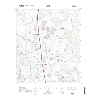
2019 Map of Tamina
USGS Topo · Published 2019About this map
Shenandoah and Oak Ridge North anchor this detailed study of Montgomery County's rapidly developing suburban landscape along the I-45 corridor. While modern infrastructure like College Park DR and the I-45 Frontage RD dominate the western half, the map reveals the persistent geography of the West Fork San Jacinto River valley to the east. This riparian zone is marked by numerous oxbows and natural water bodies such as Rogers Lake, Bird Lake, and Kidd Lake, contrasting sharply with the structured residential blocks of Chateau Woods and Woodloch.
Find a feature on this map
355 named features on this map. Tap any name to fly to it.
Don’t see what you’re looking for? This feature index may not catch every label — zoom into the map to look around manually.
Map Details
Editions of this 2019 Tamina Map
This is the sole edition of this map. No revisions or reprints were ever made.
Other maps of this area

1916 · Louetta
USGS Topo · 1:24,000

1916 · Spring
USGS Topo · 1:24,000

1919 · Weeden
USGS Topo · 1:31,680

1920 · Spring
USGS Topo · 1:31,680

1920 · Louetta
USGS Topo · 1:31,680

1954 · Beaumont
USGS Topo · 1:250,000

1957 · Beaumont
USGS Topo · 1:250,000

1958 · Conroe
USGS Topo · 1:24,000

1958 · Cowl Spur
USGS Topo · 1:24,000

1959 · Outlaw Pond
USGS Topo · 1:24,000