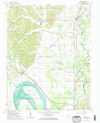
1967 Map of Tamms
USGS Topo · Published 1968About this map
Horseshoe Lake and its surrounding state conservation area dominate the southwestern corner of this survey, defining a landscape of wetlands and complex hydrology where the Cache River and various sloughs meet the timbered uplands of the Shawnee National Forest. The map documents a critical rail corridor for the Illinois bottomlands, with the Gulf... Mobile and Ohio and Chicago and Eastern Illinois railroads intersecting near Tamms.
Find a feature on this map
52 named features on this map. Tap any name to fly to it.
Don’t see what you’re looking for? This feature index may not catch every label — zoom into the map to look around manually.
Map Details
Editions of this 1967 Tamms Map
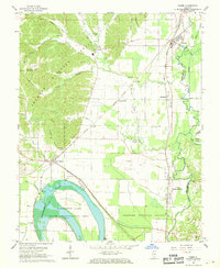
2 editions found
Other maps of this area

1920 · Jonesboro
USGS Topo · 1:62,500

1920 · Dongola
USGS Topo · 1:62,500

1923 · Dongola
USGS Topo · 1:62,500

1923 · Jonesboro
USGS Topo · 1:62,500
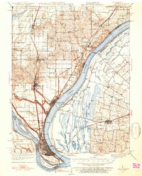
1931 · Cairo
USGS Topo · 1:62,500
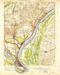
1933 · Cairo
USGS Topo · 1:62,500
1934 · Thebes
USGS Topo · 1:62,500
1939 · Cairo
USGS Topo · 1:62,500
1939 · Thebes
USGS Topo · 1:62,500
1947 · Jonesboro
USGS Topo · 1:62,500