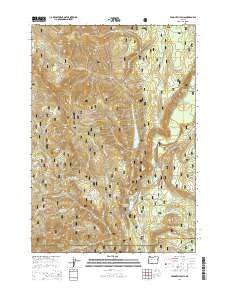
2014 Map of Tamolitch Falls
USGS Topo · Published 2014About this map
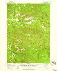
The McKenzie River corridor in the Cascade Range is defined by its complex hydroelectric infrastructure and dramatic hydrology. Within the Willamette National Forest, this 2014 survey documents the relationship between natural features like Tamolitch Falls and the series of man-made impoundments including Smith Reservoir, Carmen Reservoir, and Trail Bridge Reservoir. The landscape is characterized by high-elevation peaks such as Wildcat Mtn and Bunchgrass Mtn, separated by deep drainages like Smith River and Deer Creek. The transportation network is dominated by the McKenzie Hwy and a dense system of Forest Service roads, such as Nat Forest Develop Road 720 Rd, providing access to the steep terrain of Browder Ridge. This map serves as a detailed record of the upper McKenzie watershed's recreation and utility infrastructure at the start of the 21st century.
Find a feature on this map
52 named features on this map. Tap any name to fly to it.
Don’t see what you’re looking for? This feature index may not catch every label — zoom into the map to look around manually.
Map Details
Editions of this 2014 Tamolitch Falls Map
This is the sole edition of this map. No revisions or reprints were ever made.
Other maps of this area
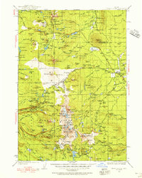
1929 · Three Sisters
USGS Topo · 1:125,000
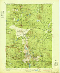
1932 · Three Sisters
USGS Topo · 1:125,000
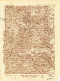
1934 · Mc Kenzie Bridge
USGS Topo · 1:96,000
1940 · Mc Kenzie Bridge
USGS Topo · 1:125,000
1953 · Salem
USGS Topo · 1:250,000
1954 · Salem
USGS Topo · 1:250,000
1955 · Echo Mountain
USGS Topo · 1:62,500
1955 · Mc Kenzie Bridge
USGS Topo · 1:62,500

1955 · Bend
USGS Topo · 1:250,000

1957 · Bend
USGS Topo · 1:250,000