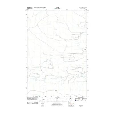
2011 Map of Tampico
USGS Topo · Published 2011About this map
Tampico serves as the primary settlement hub in this valley landscape defined by the convergence of the North Fork and South Fork Ahtanum Creek. The area is framed by the significant topographical features of Cowiche Mountain to the north and Ahtanum Ridge to the south. A complex network of irrigation and water management is evident through features like John Cox Ditch, Shaw Knox Ditch, and Lesh Ditch, highlighting the agricultural foundation of the region. The map also identifies Stevenson Dam and several springs, including Oak Spring, which indicate the vital role of water resources in this part of Yakima County. Transportation is marked by a grid of rural roads and lanes such as Ahtanum Rd and Cottonwood Canyon Rd, connecting dispersed homesteads and farms tucked between the ridges.
Find a feature on this map
43 named features on this map. Tap any name to fly to it.
Don’t see what you’re looking for? This feature index may not catch every label — zoom into the map to look around manually.
Map Details
Editions of this 2011 Tampico Map
This is the sole edition of this map. No revisions or reprints were ever made.
Other maps of this area

1899 · Ellensburg
USGS Topo · 1:125,000

1901 · Ellensburg
USGS Topo · 1:125,000

1937 · White Swan
USGS Topo · 1:125,000

1950 · Yakima
USGS Topo · 1:250,000

1957 · Yesmowit Canyon
USGS Topo · 1:24,000

1958 · Fort Simcoe
USGS Topo · 1:62,500

1958 · Wiley City
USGS Topo · 1:24,000

1958 · White Swan
USGS Topo · 1:24,000
1958 · Medicine Valley
USGS Topo · 1:24,000

1958 · Naches
USGS Topo · 1:24,000