
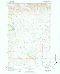
1958 Map of Wiley City
USGS Topo · Published 1960About this map
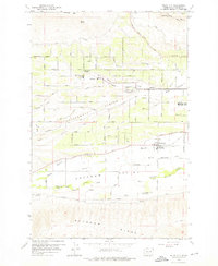
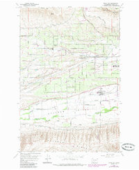
Ahtanum Valley serves as the central corridor of this 1958 survey, where the agricultural landscape of Yakima County is defined by a dense network of irrigation and road systems. The map captures the small community of Wiley City and the nearby Ahtanum Valley Sch, surrounded by the orchards and fields that characterize the region. To the north, the terrain rises toward Cowiche Mtn, while the southern portion of the sheet is dominated by the Ahtanum Indian Reservation Boundary and the steep slopes of Ahtanum Ridge.
Find a feature on this map
46 named features on this map. Tap any name to fly to it.
Don’t see what you’re looking for? This feature index may not catch every label — zoom into the map to look around manually.
Map Details
Editions of this 1958 Wiley City Map
3 editions found
Other maps of this area

1899 · Ellensburg
USGS Topo · 1:125,000

1901 · Ellensburg
USGS Topo · 1:125,000

1937 · White Swan
USGS Topo · 1:125,000

1950 · Yakima
USGS Topo · 1:250,000

1958 · Harrah
USGS Topo · 1:24,000
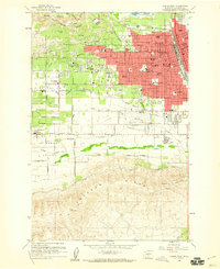
1958 · Yakima West
USGS Topo · 1:24,000
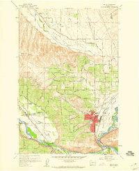
1958 · Selah
USGS Topo · 1:24,000

1958 · Fort Simcoe
USGS Topo · 1:62,500

1958 · White Swan
USGS Topo · 1:24,000
1958 · Medicine Valley
USGS Topo · 1:24,000