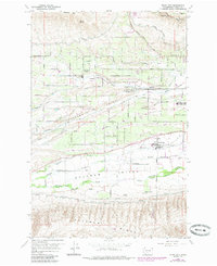
1958 Map of Wiley City
USGS Topo · Published 1985About this map
The irrigated floor of the Ahtanum Valley anchors this 1958 survey, showing a landscape defined by orchards and early suburban expansion west of Yakima. Small agricultural hubs like Wiley City, Gromore, and Harwood are connected by a dense grid of rural roads, including Orchard Avenue and Summitview Ave, while the Tieton Canal winds through the northern slopes of Cowiche Mtn to provide the essential water for the valley's fruit-growing economy.
Find a feature on this map
38 named features on this map. Tap any name to fly to it.
Don’t see what you’re looking for? This feature index may not catch every label — zoom into the map to look around manually.
Map Details
Editions of this 1958 Wiley City Map
3 editions found
Other maps of this area

1899 · Ellensburg
USGS Topo · 1:125,000

1901 · Ellensburg
USGS Topo · 1:125,000

1937 · White Swan
USGS Topo · 1:125,000

1950 · Yakima
USGS Topo · 1:250,000

1958 · Harrah
USGS Topo · 1:24,000
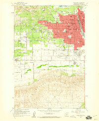
1958 · Yakima West
USGS Topo · 1:24,000
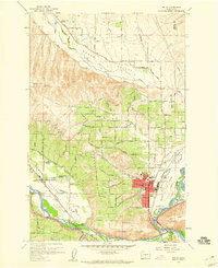
1958 · Selah
USGS Topo · 1:24,000

1958 · Fort Simcoe
USGS Topo · 1:62,500

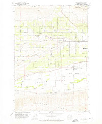
1958 · Wiley City
USGS Topo · 1:24,000

1958 · White Swan
USGS Topo · 1:24,000