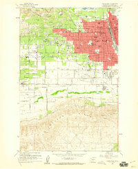
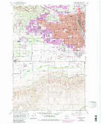
1958 Map of Yakima West
USGS Topo · Published 1960About this map
Yakima serves as a thriving hub of education and infrastructure in the late 1950s, characterized by its dense network of neighborhood schools and civic institutions. The map documents a period of significant local development, showing the Yakima Valley Jr College campus alongside numerous parochial and public institutions like St Josephs Academy and Eisenhower High School. Residential expansion pushes westward toward Fruitvale and Englewood, while the southern reaches remain defined by the Yakima Indian Reservation Boundary and the prominent Ahtanum Ridge.
Find a feature on this map
73 named features on this map. Tap any name to fly to it.
Don’t see what you’re looking for? This feature index may not catch every label — zoom into the map to look around manually.
Map Details
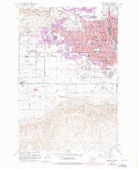
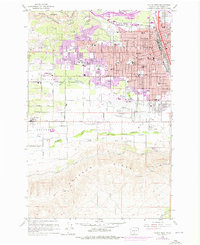
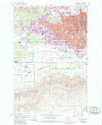
Editions of this 1958 Yakima West Map
5 editions found
Other maps of this area

1899 · Ellensburg
USGS Topo · 1:125,000

1901 · Ellensburg
USGS Topo · 1:125,000

1910 · Zillah
USGS Topo · 1:125,000

1936 · Yakima East
USGS Topo · 1:48,000

1937 · White Swan
USGS Topo · 1:125,000

1941 · Yakima East
USGS Topo · 1:62,500

1950 · Yakima
USGS Topo · 1:250,000

1953 · Pomona
USGS Topo · 1:24,000

1953 · Yakima East
USGS Topo · 1:24,000
1953 · Yakima East
USGS Topo · 1:62,500