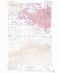
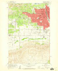
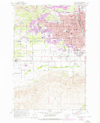
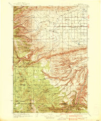
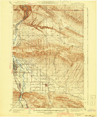
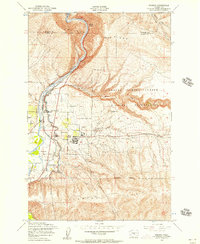
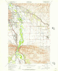
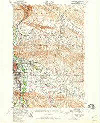
1958 Map of Yakima West
USGS Topo · Published 1976About this map
The western edges of Yakima meet the rising slopes of Ahtanum Ridge in this late-1950s survey, updated with 1970s urban growth. The landscape is defined by its complex irrigation and transportation networks, where Lateral 1 and Lateral 2 canals support the orchards of Naches Heights. The influence of the Yakima Valley Transportation Company and the Burlington Northern railroad lines underscores the city's role as a regional distribution hub.
Find a feature on this map
64 named features on this map. Tap any name to fly to it.
Don’t see what you’re looking for? This feature index may not catch every label — zoom into the map to look around manually.
Map Details
Editions of this 1958 Yakima West Map
5 editions found


Other maps of this area

1899 · Ellensburg
USGS Topo · 1:125,000

1901 · Ellensburg
USGS Topo · 1:125,000

1910 · Zillah
USGS Topo · 1:125,000

1936 · Yakima East
USGS Topo · 1:48,000
1937 · White Swan
USGS Topo · 1:125,000
1941 · Yakima East
USGS Topo · 1:62,500

1950 · Yakima
USGS Topo · 1:250,000
1953 · Pomona
USGS Topo · 1:24,000
1953 · Yakima East
USGS Topo · 1:24,000
1953 · Yakima East
USGS Topo · 1:62,500