
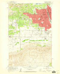
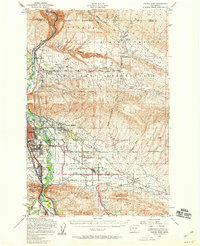
1958 Map of Yakima West
USGS Topo · Published 1985About this map
Yakima's western expansion and agricultural roots are documented in this composite record of the mid-20th century, with purple-tinted updates showing the city's growth through the early 1980s. The dense street grid, dominated by Summitview Ave and Tieton Drive, transitions into the irrigation-dependent landscape of Wide Hollow Valley and Ahtanum Valley. The presence of the Yakima Indian Reservation Boundary along the southern edge of Ahtanum Creek highlights the interface between urban development and tribal lands.
Find a feature on this map
64 named features on this map. Tap any name to fly to it.
Don’t see what you’re looking for? This feature index may not catch every label — zoom into the map to look around manually.
Map Details
Editions of this 1958 Yakima West Map
5 editions found

Other maps of this area

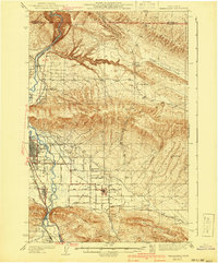
1899 · Ellensburg
USGS Topo · 1:125,000

1901 · Ellensburg
USGS Topo · 1:125,000

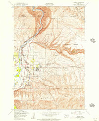
1910 · Zillah
USGS Topo · 1:125,000

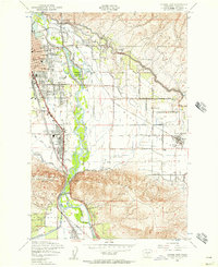
1936 · Yakima East
USGS Topo · 1:48,000
1937 · White Swan
USGS Topo · 1:125,000
1941 · Yakima East
USGS Topo · 1:62,500

1950 · Yakima
USGS Topo · 1:250,000
1953 · Pomona
USGS Topo · 1:24,000
1953 · Yakima East
USGS Topo · 1:24,000
1953 · Yakima East
USGS Topo · 1:62,500