
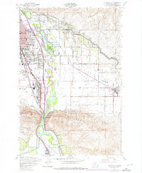
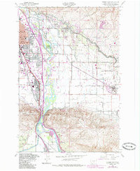
1953 Map of Yakima East
USGS Topo · Published 1957About this map
Yakima and its eastern neighbors are defined by the convergence of industrial rail lines and intricate irrigation networks. The Northern Pacific and Union Pacific railroads cut through the heart of the valley, supporting the growth of Union Gap and Moxee City. The landscape transitions from the urban grid of Madison and Jefferson Schools to the engineered agricultural expanses of the Moxee Valley, where the Roza Canal and Wapato Irrigation Canal feed the local economy.
Find a feature on this map
57 named features on this map. Tap any name to fly to it.
Don’t see what you’re looking for? This feature index may not catch every label — zoom into the map to look around manually.
Map Details
Editions of this 1953 Yakima East Map
3 editions found
Other maps of this area

1899 · Ellensburg
USGS Topo · 1:125,000

1901 · Ellensburg
USGS Topo · 1:125,000

1910 · Zillah
USGS Topo · 1:125,000

1936 · Yakima East
USGS Topo · 1:48,000

1937 · White Swan
USGS Topo · 1:125,000

1941 · Yakima East
USGS Topo · 1:62,500

1950 · Yakima
USGS Topo · 1:250,000

1953 · Pomona
USGS Topo · 1:24,000

1953 · Elephant Mountain
USGS Topo · 1:24,000
1953 · Selah Springs
USGS Topo · 1:24,000