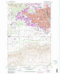
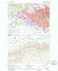
1958 Map of Yakima West
USGS Topo · Published 1985About this map
The expanding urban footprint of Yakima meets the agricultural valleys of central Washington in this detailed topographic record. The landscape is defined by an intricate network of irrigation systems, including the Congdon Canal, Tieton Canal, and Ahtanum Canal, which transform the arid terrain between Ahtanum Ridge and the Cowiche Canyon into productive land. The map illustrates the city's mid-century growth through the establishment of numerous educational institutions like Eisenhower High School and Yakima Valley College, while the rail lines of the Burlington Northern and Union Pacific underscore the region's importance as a transportation hub.
Find a feature on this map
77 named features on this map. Tap any name to fly to it.
Don’t see what you’re looking for? This feature index may not catch every label — zoom into the map to look around manually.
Map Details
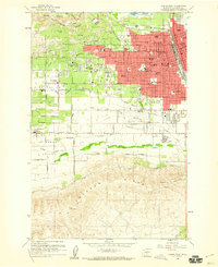
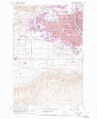
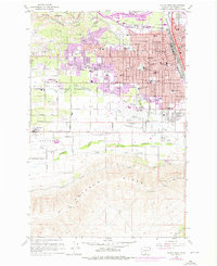
Editions of this 1958 Yakima West Map
5 editions found
Other maps of this area

1899 · Ellensburg
USGS Topo · 1:125,000

1901 · Ellensburg
USGS Topo · 1:125,000

1910 · Zillah
USGS Topo · 1:125,000

1936 · Yakima East
USGS Topo · 1:48,000

1937 · White Swan
USGS Topo · 1:125,000

1941 · Yakima East
USGS Topo · 1:62,500

1950 · Yakima
USGS Topo · 1:250,000

1953 · Pomona
USGS Topo · 1:24,000

1953 · Yakima East
USGS Topo · 1:24,000
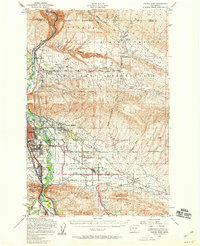
1953 · Yakima East
USGS Topo · 1:62,500