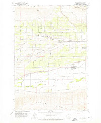
1958 Map of Wiley City
USGS Topo · Published 1976About this map
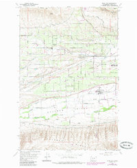
Ahtanum Valley unfolds south of the Wide Hollow drainage, showcasing an era of established irrigation and orchard farming on the outskirts of Yakima. The landscape is defined by its topographic transition from Cowiche Mtn in the north to the prominent Ahtanum Ridge in the south, with the Ahtanum Indian Reservation Boundary cutting across the valley floor. Small hubs of activity like Wiley City and Gromore appear alongside a dense network of local roads such as Tieton Drive and Summitview Ave, reflecting a settled agricultural community.
Find a feature on this map
52 named features on this map. Tap any name to fly to it.
Don’t see what you’re looking for? This feature index may not catch every label — zoom into the map to look around manually.
Map Details
Editions of this 1958 Wiley City Map
3 editions found
Other maps of this area

1899 · Ellensburg
USGS Topo · 1:125,000

1901 · Ellensburg
USGS Topo · 1:125,000

1937 · White Swan
USGS Topo · 1:125,000

1950 · Yakima
USGS Topo · 1:250,000

1958 · Harrah
USGS Topo · 1:24,000
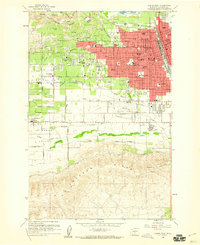
1958 · Yakima West
USGS Topo · 1:24,000
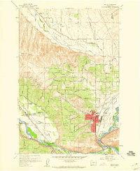
1958 · Selah
USGS Topo · 1:24,000

1958 · Fort Simcoe
USGS Topo · 1:62,500

1958 · Wiley City
USGS Topo · 1:24,000

1958 · White Swan
USGS Topo · 1:24,000