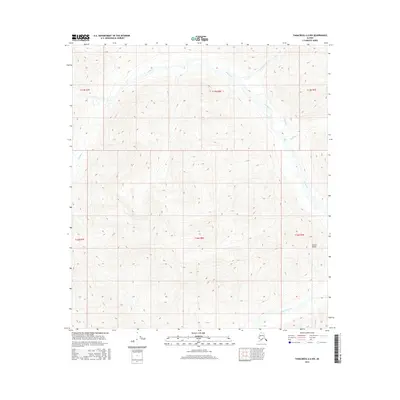
2016 Map of Tanacross A-6 NW
USGS Topo · Published 2016About this map
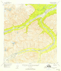
The Tok River carves through this high-elevation landscape within the northern reaches of the Alaska Range. In this 2016 survey, the drainage network is the primary defining feature of the terrain, with several tributaries such as Stibnite Creek, White Cr, and Shindata Cr feeding into the main river valley. The absence of named settlements or roads underscores the wilderness character of this region during the early 21st century. Instead, the map detail focuses on the sharp topographic relief and the seasonal flow of Dry Tok Creek to the south. This cartographic study provides a precise record of the hydrological patterns and elevation contours within the unorganized borough, serving as a baseline for understanding the physical geography of the Alaskan interior before more recent environmental shifts.
Find a feature on this map
12 named features on this map. Tap any name to fly to it.
Don’t see what you’re looking for? This feature index may not catch every label — zoom into the map to look around manually.
Map Details
Editions of this 2016 Tanacross A-6 NW Map
This is the sole edition of this map. No revisions or reprints were ever made.
Other maps of this area
1948 · Tanacross A-6
USGS Topo · 1:63,360

1949 · Tanacross
USGS Topo · 1:250,000
1949 · Tanacross B-6
USGS Topo · 1:63,360
1949 · Mt. Hayes A-1
USGS Topo · 1:63,360

1950 · Tanacross
USGS Topo · 1:250,000
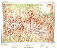
1950 · Mount Hayes
USGS Topo · 1:250,000
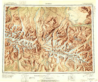
1951 · Mount Hayes
USGS Topo · 1:250,000
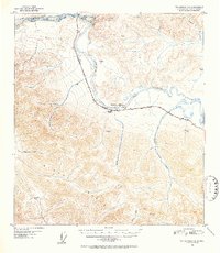
1951 · Tanacross B-6
USGS Topo · 1:63,360
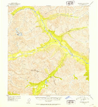
1952 · Tanacross A-6
USGS Topo · 1:63,360
1954 · Mount Hayes B-1
USGS Topo · 1:63,360