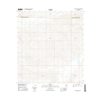
2016 Map of Tanacross A-6 SW
USGS Topo · Published 2016About this map
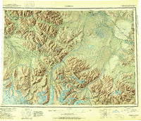
Dry Tok Creek flows through the northern reaches of this interior Alaskan landscape, marking a boundary between the Southeast Fairbanks Census Area and the Valdez-Cordova Census Area. This 2016 survey captures a high-elevation wilderness defined by drainage systems that shape the local topography. In the southeastern corner, Burnt Lake and its associated Burnt Cr sit within a high basin, while the central and southern portions of the quadrangle are dominated by the winding course of Bone Creek and its tributary, Bone Cr. The map preserves the township and range survey grid, which provides a structural framework for this otherwise undeveloped region where only Lost Cr interrupts the southern boundary. This detailed elevation study is essential for understanding the seasonal water flow and remote terrain of the eastern Alaska interior before any significant infrastructure development.
Find a feature on this map
16 named features on this map. Tap any name to fly to it.
Don’t see what you’re looking for? This feature index may not catch every label — zoom into the map to look around manually.
Map Details
Editions of this 2016 Tanacross A-6 SW Map
This is the sole edition of this map. No revisions or reprints were ever made.
Other maps of this area
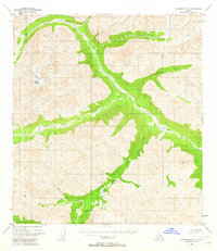
1948 · Tanacross A-6
USGS Topo · 1:63,360

1949 · Tanacross
USGS Topo · 1:250,000
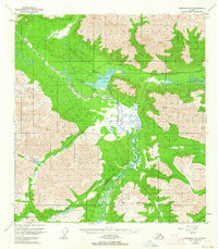
1949 · Nabesna D-6
USGS Topo · 1:63,360
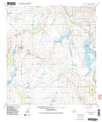
1949 · Mt. Hayes A-1
USGS Topo · 1:63,360

1950 · Tanacross
USGS Topo · 1:250,000
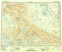
1950 · Nabesna
USGS Topo · 1:250,000
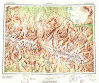
1950 · Mount Hayes
USGS Topo · 1:250,000
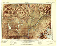
1951 · Gulkana
USGS Topo · 1:250,000
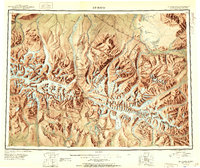
1951 · Mount Hayes
USGS Topo · 1:250,000
1951 · Nabesna
USGS Topo · 1:250,000