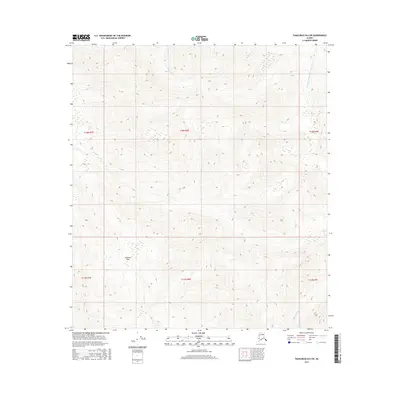
2016 Map of Tanacross B-6 SW
USGS Topo · Published 2016About this map
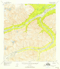
Tushtena Pass marks a significant high point in this 2016 survey of the interior Alaska wilderness. The landscape is defined by its drainage systems, including the waters of Sheep Creek and the southern flow of Stibnite Cr. Notable for its isolation, the area is divided by township and range lines such as t18n r8e and t17n r8e, which provide the primary organizational structure for this mountainous terrain. The presence of Cathedral Rapids Number 2 in the northeastern quadrant suggests the dynamic water features that carve through the high elevations. This document is focused on topography and hydrography rather than human settlement, serving as a record of the natural landforms in the Unorganized Borough during the early 21st century.
Find a feature on this map
10 named features on this map. Tap any name to fly to it.
Don’t see what you’re looking for? This feature index may not catch every label — zoom into the map to look around manually.
Map Details
Editions of this 2016 Tanacross B-6 SW Map
This is the sole edition of this map. No revisions or reprints were ever made.
Other maps of this area
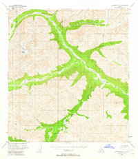
1948 · Tanacross A-6
USGS Topo · 1:63,360

1949 · Tanacross
USGS Topo · 1:250,000
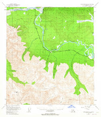
1949 · Tanacross B-6
USGS Topo · 1:63,360
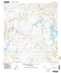
1949 · Mt. Hayes A-1
USGS Topo · 1:63,360

1950 · Tanacross
USGS Topo · 1:250,000
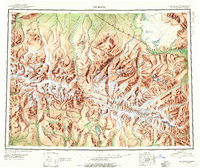
1950 · Mount Hayes
USGS Topo · 1:250,000
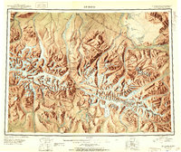
1951 · Mount Hayes
USGS Topo · 1:250,000
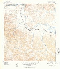
1951 · Tanacross B-6
USGS Topo · 1:63,360
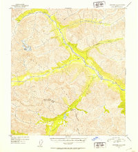
1952 · Tanacross A-6
USGS Topo · 1:63,360
1954 · Mount Hayes B-1
USGS Topo · 1:63,360