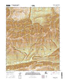
2016 Map of Tanana A-3 NE
USGS Topo · Published 2016About this map
The headwaters of Little Boulder Cr and Boulder Cr dominate the southern portion of this landscape, carving through the terrain in the Yukon-Koyukuk region. This 2016 survey highlights a remote interior wilderness defined by a dense network of mountain streams and sharp elevation changes, as indicated by the tight contour intervals throughout the quadrangle. In the western section, W Fork Trail Cr and Salt Cr flow through valleys between unnamed peaks, eventually converging with Trail Cr.
Find a feature on this map
12 named features on this map. Tap any name to fly to it.
Don’t see what you’re looking for? This feature index may not catch every label — zoom into the map to look around manually.
Map Details
Editions of this 2016 Tanana A-3 NE Map
This is the sole edition of this map. No revisions or reprints were ever made.
Other maps of this area

1951 · Tanana
USGS Topo · 1:250,000

1952 · Tanana A-3
USGS Topo · 1:63,360

1952 · Tanana A-2
USGS Topo · 1:63,360

1953 · Tanana A-2
USGS Topo · 1:63,360

1953 · Tanana A-3
USGS Topo · 1:63,360

1956 · Tanana B-2
USGS Topo · 1:63,360

1956 · Tanana B-3
USGS Topo · 1:63,360

1956 · Tanana
USGS Topo · 1:250,000

1960 · Tanana
USGS Topo · 1:250,000
2016 · Tanana A-3 SE
USGS Topo · 1:25,000