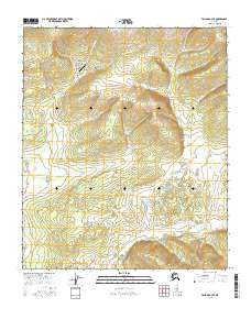
2016 Map of Tanana A-3 SE
USGS Topo · Published 2016About this map
American Creek Airport serves as a lone landmark in this landscape defined by interior Alaskan drainage basins and mineral exploration history. The map detail highlights a series of named drainages including American Cr, Woodchopper Cr, and Patterson Cr that carve through the high terrain. Geologically and historically significant features such as Colorado Gulch, New York Gulch, and California Gulch suggest a legacy of prospecting and hydraulic activity common to this region of the Yukon-Koyukuk. The distribution of these gulches around the upper reaches of American Cr indicates a concentrated area of interest for early 21st-century topography. Remote and largely uninhabited, the area is accessible primarily by air, with the airstrip positioned as a vital link between the complex network of creeks like Eldorado Cr and Value Cr and the wider Alaskan interior.
Find a feature on this map
18 named features on this map. Tap any name to fly to it.
Don’t see what you’re looking for? This feature index may not catch every label — zoom into the map to look around manually.
Map Details
Editions of this 2016 Tanana A-3 SE Map
This is the sole edition of this map. No revisions or reprints were ever made.
Other maps of this area

1948 · Kantishna River
USGS Topo · 1:250,000

1951 · Kantishna River
USGS Topo · 1:250,000

1951 · Tanana
USGS Topo · 1:250,000

1952 · Tanana A-3
USGS Topo · 1:63,360

1952 · Tanana A-2
USGS Topo · 1:63,360

1952 · Kantishna River
USGS Topo · 1:250,000

1952 · Kantishna River D-2
USGS Topo · 1:63,360

1952 · Kantishna River D-3
USGS Topo · 1:63,360

1953 · Tanana A-2
USGS Topo · 1:63,360

1953 · Tanana A-3
USGS Topo · 1:63,360