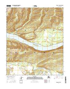
2016 Map of Tanana A-4 NE
USGS Topo · Published 2016About this map
The Yukon River dominates this interior landscape, carving through a region defined by its wide river bends and seasonal waterways. A massive landform known as Sixteenmile Island sits within the main channel, splitting the flow between high-relief terrain to the north and a dense network of sloughs and lakes to the south. This transition from steep elevation to the marshy lowlands of the river valley is illustrated by the drainage of Coal Cr and Spicer Cr into the river's path.
Find a feature on this map
12 named features on this map. Tap any name to fly to it.
Don’t see what you’re looking for? This feature index may not catch every label — zoom into the map to look around manually.
Map Details
Editions of this 2016 Tanana A-4 NE Map
This is the sole edition of this map. No revisions or reprints were ever made.
Other maps of this area

1951 · Tanana
USGS Topo · 1:250,000

1952 · Tanana A-3
USGS Topo · 1:63,360

1952 · Tanana A-4
USGS Topo · 1:63,360

1953 · Tanana A-3
USGS Topo · 1:63,360

1956 · Tanana B-3
USGS Topo · 1:63,360

1956 · Tanana B-4
USGS Topo · 1:63,360

1956 · Tanana
USGS Topo · 1:250,000

1960 · Tanana
USGS Topo · 1:250,000
2016 · Tanana B-4 SE
USGS Topo · 1:25,000
2016 · Tanana A-3 SW
USGS Topo · 1:25,000