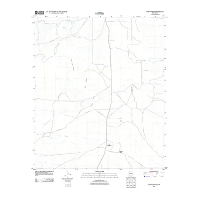
2010 Map of Tank Mountain
USGS Topo · Published 2010About this map
Animas Valley defines the central corridor of this southwestern New Mexico landscape, bounded by the prominent heights of Little Tank Mountain and Tank Mountain. The area is characterized by a network of drainage ways and intermittent streams, including Animas Creek and Whitmire Creek, which feed into the broader valley floor. The map highlights specific named locations such as Jim Robinson and Gibson Place, likely indicating early ranching headquarters or established homesteads in this part of Hidalgo County.
Find a feature on this map
23 named features on this map. Tap any name to fly to it.
Don’t see what you’re looking for? This feature index may not catch every label — zoom into the map to look around manually.
Map Details
Editions of this 2010 Tank Mountain Map
This is the sole edition of this map. No revisions or reprints were ever made.
Other maps of this area

1918 · Walnut Wells
USGS Topo · 1:62,500

1918 · Playas
USGS Topo · 1:62,500

1918 · Animas Peak
USGS Topo · 1:62,500

1918 · Pratt
USGS Topo · 1:62,500

1919 · Pratt
USGS Topo · 1:62,500

1919 · Playas
USGS Topo · 1:62,500

1920 · Animas Peak
USGS Topo · 1:62,500

1923 · Walnut Wells
USGS Topo · 1:62,500

1955 · Douglas
USGS Topo · 1:250,000

1959 · Douglas
USGS Topo · 1:250,000