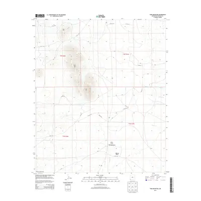
2013 Map of Tank Mountain
USGS Topo · Published 2013About this map
Gibson Place and the homestead at Jim Robinson anchor this high-desert landscape in the southwestern corner of New Mexico. The terrain is defined by the volcanic rises of Tank Mtn and Little Tank Mtn, which stand as prominent landmarks above the drainage systems of Big Cr and Animas Cr. In this arid environment, water management is a primary feature of the landscape, evidenced by the named X T Tank. To the south, the foothills of the Peloncillo Mountains begin to rise, creating the deep cuts of Cabin Canyon. This 2013 survey illustrates a region largely characterized by isolated ranching outposts and a network of county roads, such as CO Road C005 and Rancholito Rd, that connect these remote family-named locations across the desert floor.
Find a feature on this map
30 named features on this map. Tap any name to fly to it.
Don’t see what you’re looking for? This feature index may not catch every label — zoom into the map to look around manually.
Map Details
Editions of this 2013 Tank Mountain Map
This is the sole edition of this map. No revisions or reprints were ever made.
Other maps of this area
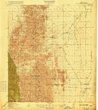
1918 · Walnut Wells
USGS Topo · 1:62,500
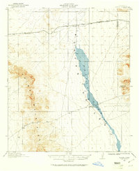
1918 · Playas
USGS Topo · 1:62,500
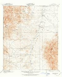
1918 · Animas Peak
USGS Topo · 1:62,500
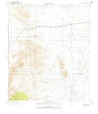
1918 · Pratt
USGS Topo · 1:62,500
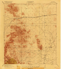
1919 · Pratt
USGS Topo · 1:62,500
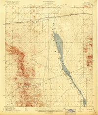
1919 · Playas
USGS Topo · 1:62,500
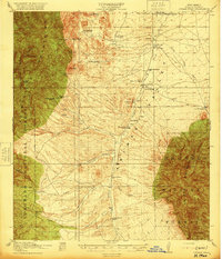
1920 · Animas Peak
USGS Topo · 1:62,500
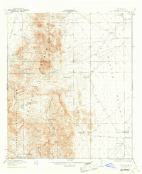
1923 · Walnut Wells
USGS Topo · 1:62,500
1955 · Douglas
USGS Topo · 1:250,000
1959 · Douglas
USGS Topo · 1:250,000