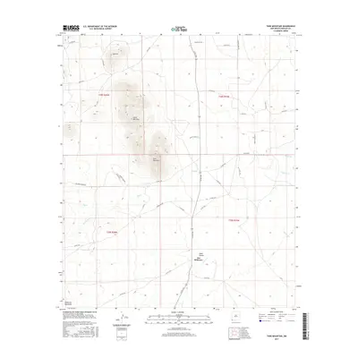
2017 Map of Tank Mountain
USGS Topo · Published 2017About this map
Tank Mountain and Little Tank Mtn rise above the high-desert landscape of Hidalgo County, anchoring a terrain defined by drainage basins and ranching infrastructure. This arid corridor in the southwestern corner of New Mexico features the Peloncillo Mountains in the south, where Cabin Canyon funnels seasonal water toward Animas Cr. The settlement of Jim Robinson sits near this confluence, marking a point of human activity amidst a web of rural roads such as Homestead Rd and Big Creek Ranch Rd. Water management is evident through the presence of the X T Tank, a critical resource for livestock in a region where watercourses like Big Cr and Whitmire Cr are often dry. The map illustrates the 21st-century cattle-ranching footprint, tracing the long-established property lines of t28s r20w and t29s r19w.
Find a feature on this map
46 named features on this map. Tap any name to fly to it.
Don’t see what you’re looking for? This feature index may not catch every label — zoom into the map to look around manually.
Map Details
Editions of this 2017 Tank Mountain Map
This is the sole edition of this map. No revisions or reprints were ever made.
Other maps of this area

1918 · Walnut Wells
USGS Topo · 1:62,500

1918 · Playas
USGS Topo · 1:62,500

1918 · Animas Peak
USGS Topo · 1:62,500

1918 · Pratt
USGS Topo · 1:62,500

1919 · Pratt
USGS Topo · 1:62,500

1919 · Playas
USGS Topo · 1:62,500

1920 · Animas Peak
USGS Topo · 1:62,500

1923 · Walnut Wells
USGS Topo · 1:62,500

1955 · Douglas
USGS Topo · 1:250,000

1959 · Douglas
USGS Topo · 1:250,000