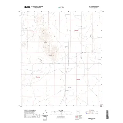
2023 Map of Tank Mountain
USGS Topo · Published 2023About this map
The Peloncillo Mountains dominate this arid landscape in Hidalgo County, rising sharply between the Animas and San Simon valleys. At the heart of the terrain, Tank Mountain and its smaller neighbor Little Tank Mountain provide a rugged backdrop to a network of drainage systems, including the complex forks of Big Creek and South Fork Big Creek. This 2023 survey illustrates how water management and topography dictate the human presence here, with features like X T Tank serving as vital infrastructure for local ranching operations.
Find a feature on this map
46 named features on this map. Tap any name to fly to it.
Don’t see what you’re looking for? This feature index may not catch every label — zoom into the map to look around manually.
Map Details
Editions of this 2023 Tank Mountain Map
This is the sole edition of this map. No revisions or reprints were ever made.
Other maps of this area

1918 · Walnut Wells
USGS Topo · 1:62,500

1918 · Playas
USGS Topo · 1:62,500

1918 · Animas Peak
USGS Topo · 1:62,500

1918 · Pratt
USGS Topo · 1:62,500

1919 · Pratt
USGS Topo · 1:62,500

1919 · Playas
USGS Topo · 1:62,500

1920 · Animas Peak
USGS Topo · 1:62,500

1923 · Walnut Wells
USGS Topo · 1:62,500

1955 · Douglas
USGS Topo · 1:250,000

1959 · Douglas
USGS Topo · 1:250,000