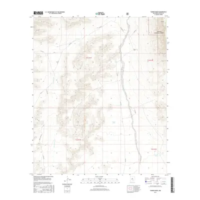
2017 Map of Tanner Ranch
USGS Topo · Published 2017About this map
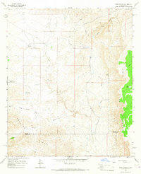
Tanner Ranch sits at the heart of this high-desert landscape in Otero County, where water management is the defining feature of the terrain. The presence of numerous named water catchments, including Dee Tank, Hook Tank, and Gravel Tank, highlights the ranching economy's reliance on localized water storage in an arid environment. The map shows the dramatic transition from the eastern edge of the Lincoln National Forest to the rugged precipice known as The Rim, which overlooks the lower elevations to the east. Transportation through this remote section is dictated by the drainage patterns of Jernigan Draw and Jernigan Wash, with Pinon Creek Rd and various county routes like Co RD e032 and Co RD e026 providing the only access through the canyons and mesas.
Find a feature on this map
22 named features on this map. Tap any name to fly to it.
Don’t see what you’re looking for? This feature index may not catch every label — zoom into the map to look around manually.
Map Details
Editions of this 2017 Tanner Ranch Map
This is the sole edition of this map. No revisions or reprints were ever made.
Other maps of this area

1954 · Carlsbad
USGS Topo · 1:250,000

1958 · Carlsbad
USGS Topo · 1:250,000
1963 · Cornucopia Canyon
USGS Topo · 1:24,000
1963 · Hackberry Hill
USGS Topo · 1:24,000
1963 · Cornucopia Ranch SE
USGS Topo · 1:24,000
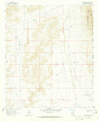
1963 · Tanner Ranch
USGS Topo · 1:24,000
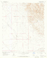
1963 · Gowdy Ranch
USGS Topo · 1:24,000
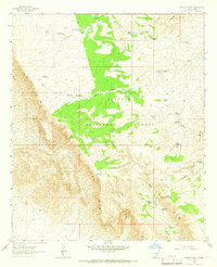
1963 · Panama Ranch
USGS Topo · 1:24,000
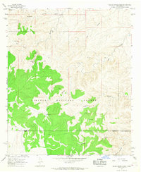
1965 · Bullis Spring Ranch
USGS Topo · 1:24,000
1965 · Pinon Ranch
USGS Topo · 1:24,000