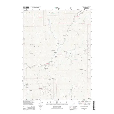
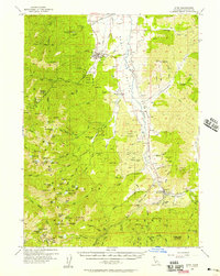
2015 Map of Tanners Peak
USGS Topo · Published 2015About this map
Klamath National Forest defines this high-elevation landscape in Siskiyou County, where the N Fork Salmon River and its numerous tributaries carve deep through the terrain. The map reveals a region shaped by its water and ridges, stretching between the Marble Mountains to the northwest and the Salmon Mountains to the southeast. Remote access points like Mule Bridge connect isolated areas such as Robinson Flat and the high point at Tanners Peak. A complex network of named gulches, including China Gulch and Creole Belle Gulch, hints at the area's prospecting and industrial history. The transition from the N Russian Cr drainage toward the southern ridges near Incline Ridge highlights the steep, unforgiving relief that has historically dictated movement and settlement patterns throughout the Salmon River watershed.
Find a feature on this map
46 named features on this map. Tap any name to fly to it.
Don’t see what you’re looking for? This feature index may not catch every label — zoom into the map to look around manually.
Map Details
Editions of this 2015 Tanners Peak Map
This is the sole edition of this map. No revisions or reprints were ever made.
Other maps of this area
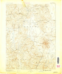
1886 · Shasta
USGS Topo · 1:250,000
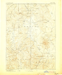
1894 · Shasta
USGS Topo · 1:250,000
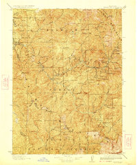
1923 · Sawyers Bar
USGS Topo · 1:125,000
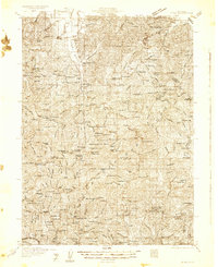
1931 · Etna
USGS Topo · 1:96,000
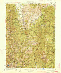
1934 · Etna
USGS Topo · 1:125,000

1948 · Weed
USGS Topo · 1:250,000

1950 · Weed
USGS Topo · 1:250,000
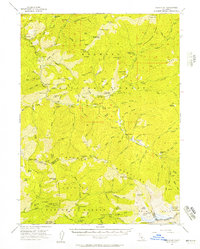
1955 · Cecilville
USGS Topo · 1:62,500
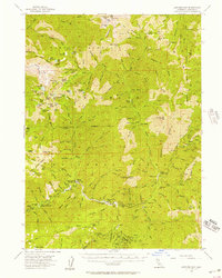
1955 · Sawyers Bar
USGS Topo · 1:62,500
1955 · Etna
USGS Topo · 1:62,500