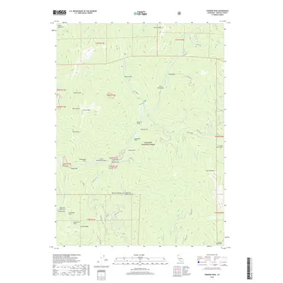
2018 Map of Tanners Peak
USGS Topo · Published 2018About this map
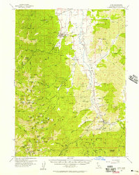
Klamath National Forest dominates this mountain landscape where the N Fork Salmon River and its numerous tributaries have carved a dense network of gulches. The terrain is defined by the high elevations of Tanners Peak and Snoozer Ridge, part of the larger Marble Mountains and Salmon Mountains systems. Historically, this area was shaped by mining activity, evidenced by the Hogan Mine and Cleaver Mine, as well as the gold-fever legacies of Creole Belle Gulch and Eddy Gulch.
Find a feature on this map
76 named features on this map. Tap any name to fly to it.
Don’t see what you’re looking for? This feature index may not catch every label — zoom into the map to look around manually.
Map Details
Editions of this 2018 Tanners Peak Map
This is the sole edition of this map. No revisions or reprints were ever made.
Other maps of this area
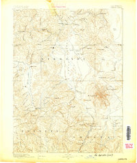
1886 · Shasta
USGS Topo · 1:250,000
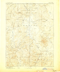
1894 · Shasta
USGS Topo · 1:250,000
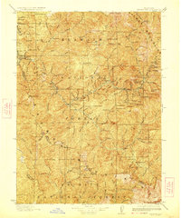
1923 · Sawyers Bar
USGS Topo · 1:125,000
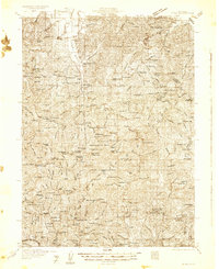
1931 · Etna
USGS Topo · 1:96,000
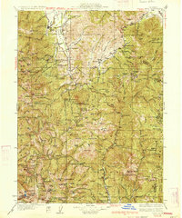
1934 · Etna
USGS Topo · 1:125,000

1948 · Weed
USGS Topo · 1:250,000

1950 · Weed
USGS Topo · 1:250,000
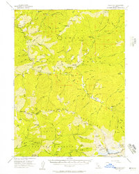
1955 · Cecilville
USGS Topo · 1:62,500
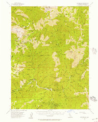
1955 · Sawyers Bar
USGS Topo · 1:62,500
1955 · Etna
USGS Topo · 1:62,500