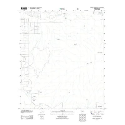
2011 Map of Tanque Verde Peak
USGS Topo · Published 2011About this map
Tanque Verde Peak and the surrounding high desert east of Tucson are captured here during a period of transition as suburban expansion meets the desert foothills. The map reveals a landscape defined by seasonal watercourses and ranching history, with Tanque Verde Wash and Rincon Creek providing the primary drainage for the area. Development is concentrated in the northwest corner with a grid of residential streets like N Freeman Rd and E Speedway Rd, while the eastern portion remains dominated by rugged terrain and primitive sites such as Cement Cabin and Hope Camp.
Find a feature on this map
68 named features on this map. Tap any name to fly to it.
Don’t see what you’re looking for? This feature index may not catch every label — zoom into the map to look around manually.
Map Details
Editions of this 2011 Tanque Verde Peak Map
This is the sole edition of this map. No revisions or reprints were ever made.
Other maps of this area
1904 · Tucson
USGS Topo · 1:125,000
1905 · Tucson
USGS Topo · 1:125,000
1948 · Tucson
USGS Topo · 1:62,500

1956 · Tucson
USGS Topo · 1:250,000
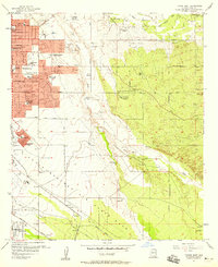
1957 · Tucson East
USGS Topo · 1:24,000
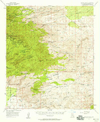
1957 · Bellota Ranch
USGS Topo · 1:62,500
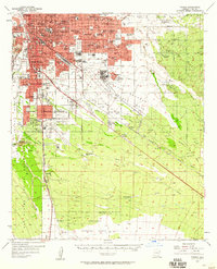
1957 · Tucson
USGS Topo · 1:62,500
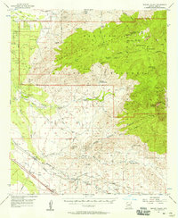
1957 · Rincon Valley
USGS Topo · 1:62,500
1957 · Sabino Canyon
USGS Topo · 1:24,000
1957 · Mount Lemmon
USGS Topo · 1:62,500