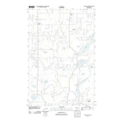
2011 Map of Tanwax Lake
USGS Topo · Published 2011About this map
Glacial lakes and small settlements define this portion of Pierce County at the start of the twenty-first century. The landscape is dominated by a chain of water bodies, including Tanwax Lake, Ohop Lake, and the expansive Silver Lake to the southwest. These lakes are connected by a network of waterways such as Tanwax Creek and Ohop Creek, which have historically shaped the drainage and development of the region. Local intersections and small communities like Jims Corner, Johnsons Corner, and Leber indicate the long-standing rural road network that persists even as contemporary features like the Three Hundred Fourth Street Landfill and Tanwax Greens Golf Course appear.
Find a feature on this map
85 named features on this map. Tap any name to fly to it.
Don’t see what you’re looking for? This feature index may not catch every label — zoom into the map to look around manually.
Map Details
Editions of this 2011 Tanwax Lake Map
This is the sole edition of this map. No revisions or reprints were ever made.
Other maps of this area

1897 · Tacoma
USGS Topo · 1:125,000

1900 · Tacoma
USGS Topo · 1:125,000

1937 · Eatonville
USGS Topo · 1:125,000

1941 · Tanwax Lake
USGS Topo · 1:62,500

1941 · Tacoma South
USGS Topo · 1:62,500

1942 · Lake Tapps
USGS Topo · 1:62,500

1944 · Lake Tapps
USGS Topo · 1:62,500

1944 · Tacoma South
USGS Topo · 1:62,500

1944 · Ohop Valley
USGS Topo · 1:62,500

1949 · Ohop Valley
USGS Topo · 1:62,500