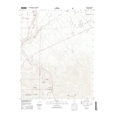
2013 Map of Taos SW
USGS Topo · Published 2013About this map
Ranchos de Taos serves as the primary settlement hub in this southwestern portion of the county, where the high desert plateau begins its dramatic descent into the Cañon del Rio Grande. The landscape is defined by the carved paths of the Rio Grande Wild River and the Rio Pueblo de Taos, which meet near the notable recreation area of Orilla Verde. This 2013 survey illustrates the contrast between the expanding residential street network of Ranchos de Taos and the protected wilderness of the Carson National Forest.
Find a feature on this map
47 named features on this map. Tap any name to fly to it.
Don’t see what you’re looking for? This feature index may not catch every label — zoom into the map to look around manually.
Map Details
Editions of this 2013 Taos SW Map
This is the sole edition of this map. No revisions or reprints were ever made.
Other maps of this area
1953 · Trampas
USGS Topo · 1:24,000
1954 · Raton
USGS Topo · 1:250,000
1958 · Raton
USGS Topo · 1:250,000
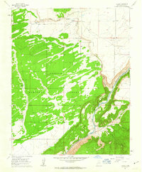
1961 · Carson
USGS Topo · 1:24,000
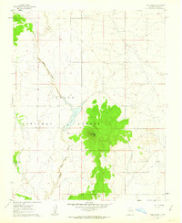
1961 · Tres Orejas
USGS Topo · 1:24,000
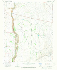
1964 · Los Cordovas
USGS Topo · 1:24,000
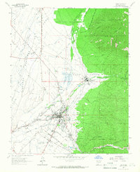
1964 · Taos
USGS Topo · 1:24,000
1964 · Tres Ritos
USGS Topo · 1:24,000
1964 · Ranchos De Taos
USGS Topo · 1:24,000
1964 · Penasco
USGS Topo · 1:24,000