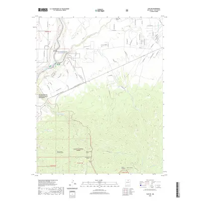
2020 Map of Taos SW
USGS Topo · Published 2020About this map
Rio Pueblo de Taos flows through a landscape defined by deep drainages and volcanic plateaus, meeting the Rio Grande within the protected bounds of the Rio Grande Wild and Scenic River. This recent survey illustrates a complex network of recreational and historic paths, including the Rift Valley Trail and the Anthony S. Armijo Trail, which navigate the steep descents of the Escarpment and Lower Taos Canyon. The topography transitions from the high-desert plains of the Rio Grande del Norte National Monument in the west to the rising elevations of the Picuris Mountains and Carson National Forest to the south.
Find a feature on this map
73 named features on this map. Tap any name to fly to it.
Don’t see what you’re looking for? This feature index may not catch every label — zoom into the map to look around manually.
Map Details
Editions of this 2020 Taos SW Map
This is the sole edition of this map. No revisions or reprints were ever made.
Other maps of this area
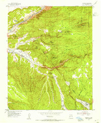
1953 · Trampas
USGS Topo · 1:24,000
1954 · Raton
USGS Topo · 1:250,000
1958 · Raton
USGS Topo · 1:250,000
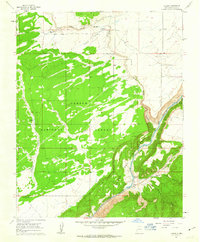
1961 · Carson
USGS Topo · 1:24,000
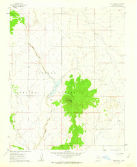
1961 · Tres Orejas
USGS Topo · 1:24,000
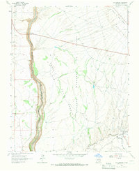
1964 · Los Cordovas
USGS Topo · 1:24,000
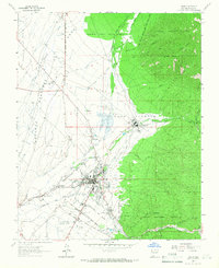
1964 · Taos
USGS Topo · 1:24,000
1964 · Tres Ritos
USGS Topo · 1:24,000
1964 · Ranchos De Taos
USGS Topo · 1:24,000
1964 · Penasco
USGS Topo · 1:24,000