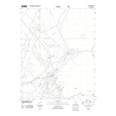
2011 Map of Taos
USGS Topo · Published 2011About this map
Taos Pueblo and the surrounding valley settlements define this northern New Mexico landscape, where ancient communal structures meet modern rural expansion. The traditional water management system remains highly visible through numerous irrigation channels such as the Acequia Madre del Pueblo and Acequia de Juan Manuel, which divert flow from the Rio Pueblo de Taos. These acequias reflect a long-standing agricultural tradition that dictates the spatial layout of the region's farms and residences.
Find a feature on this map
81 named features on this map. Tap any name to fly to it.
Don’t see what you’re looking for? This feature index may not catch every label — zoom into the map to look around manually.
Map Details
Editions of this 2011 Taos Map
This is the sole edition of this map. No revisions or reprints were ever made.
Other maps of this area

1954 · Raton
USGS Topo · 1:250,000

1958 · Raton
USGS Topo · 1:250,000

1963 · Wheeler Peak
USGS Topo · 1:24,000

1963 · Arroyo Seco
USGS Topo · 1:24,000

1963 · Arroyo Hondo
USGS Topo · 1:24,000

1964 · Los Cordovas
USGS Topo · 1:24,000

1964 · Taos
USGS Topo · 1:24,000

1964 · Ranchos De Taos
USGS Topo · 1:24,000

1964 · Taos SW
USGS Topo · 1:24,000

1965 · Pueblo Peak
USGS Topo · 1:24,000