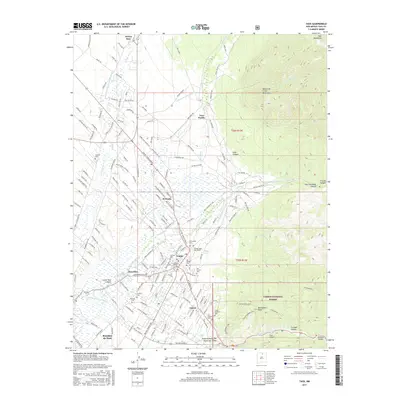
2017 Map of Taos
USGS Topo · Published 2017About this map
The complex irrigation systems of the New Mexico high desert define this 2017 landscape, where ancient acequias like the Acequia de Manuel Andres Trujillo and Acequia Madre del Prado continue to divert water to the valley floors. Taos Pueblo sits at the foot of the Taos Mountains, anchoring a cultural geography that extends south through El Prado to the historic center of Taos. Genealogists will find a high concentration of burial grounds, including the Kit Carson Cem and the Campo Santo del Pueblo, reflecting the deep familial roots in the region.
Find a feature on this map
48 named features on this map. Tap any name to fly to it.
Don’t see what you’re looking for? This feature index may not catch every label — zoom into the map to look around manually.
Map Details
Editions of this 2017 Taos Map
This is the sole edition of this map. No revisions or reprints were ever made.
Other maps of this area

1954 · Raton
USGS Topo · 1:250,000

1958 · Raton
USGS Topo · 1:250,000

1963 · Wheeler Peak
USGS Topo · 1:24,000

1963 · Arroyo Seco
USGS Topo · 1:24,000

1963 · Arroyo Hondo
USGS Topo · 1:24,000

1964 · Los Cordovas
USGS Topo · 1:24,000

1964 · Taos
USGS Topo · 1:24,000

1964 · Ranchos De Taos
USGS Topo · 1:24,000

1964 · Taos SW
USGS Topo · 1:24,000

1965 · Pueblo Peak
USGS Topo · 1:24,000