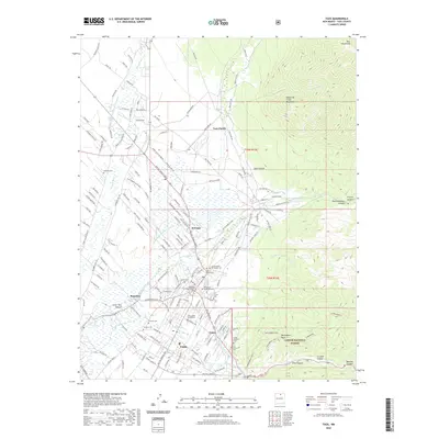
2020 Map of Taos
USGS Topo · Published 2020About this map
The high desert landscape of Taos and its neighboring communities is defined by a deep-rooted network of acequias and river systems. To the north, the ancient architecture of Taos Pueblo sits at the foot of the Sangre de Cristo Mountains, while the modern town serves as a legal and educational hub for the region, anchored by the Taos County Courthouse and the University of New Mexico Taos. The area's complex cultural history is visible through a high density of cemeteries, from the centrally located Kit Carson Memorial Cem to the Campo Santo del Pueblo Cem near El Prado. Numerous watercourses, including the Rio Lucero, Rio Pueblo de Taos, and Rio Fernando de Taos, weave through the valley, supporting a distribution of settlements like Ranchito and Cañon before the terrain rises sharply into the Carson National Forest and toward Devisadero Peak.
Find a feature on this map
167 named features on this map. Tap any name to fly to it.
Don’t see what you’re looking for? This feature index may not catch every label — zoom into the map to look around manually.
Map Details
Editions of this 2020 Taos Map
This is the sole edition of this map. No revisions or reprints were ever made.
Other maps of this area

1954 · Raton
USGS Topo · 1:250,000

1958 · Raton
USGS Topo · 1:250,000

1963 · Wheeler Peak
USGS Topo · 1:24,000

1963 · Arroyo Seco
USGS Topo · 1:24,000

1963 · Arroyo Hondo
USGS Topo · 1:24,000

1964 · Los Cordovas
USGS Topo · 1:24,000

1964 · Taos
USGS Topo · 1:24,000

1964 · Ranchos De Taos
USGS Topo · 1:24,000

1964 · Taos SW
USGS Topo · 1:24,000

1965 · Pueblo Peak
USGS Topo · 1:24,000