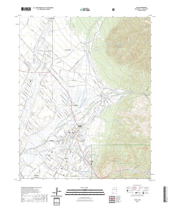
2023 Map of Taos
USGS Topo · Published 2023About this map
Taos Pueblo and the surrounding high-altitude valley define this landscape where traditional settlements meet the rising Taos Mountains. The map reveals a dense concentration of cultural and genealogical sites, particularly through its numerous burial grounds such as the Kit Carson Memorial Cem, Campo Santo del Pueblo Cem, and Sierra Vista Cem. These features, along with the Taos County Courthouse, mark the civic and ancestral heart of Taos and its neighboring communities like El Prado and Ranchos de Taos.
Find a feature on this map
168 named features on this map. Tap any name to fly to it.
Don’t see what you’re looking for? This feature index may not catch every label — zoom into the map to look around manually.
Map Details
Editions of this 2023 Taos Map
This is the sole edition of this map. No revisions or reprints were ever made.
Other maps of this area

1954 · Raton
USGS Topo · 1:250,000

1958 · Raton
USGS Topo · 1:250,000

1963 · Wheeler Peak
USGS Topo · 1:24,000

1963 · Arroyo Seco
USGS Topo · 1:24,000

1963 · Arroyo Hondo
USGS Topo · 1:24,000

1964 · Los Cordovas
USGS Topo · 1:24,000

1964 · Taos
USGS Topo · 1:24,000

1964 · Ranchos De Taos
USGS Topo · 1:24,000

1964 · Taos SW
USGS Topo · 1:24,000

1965 · Pueblo Peak
USGS Topo · 1:24,000