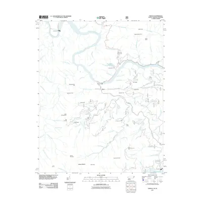
2011 Map of Tapoco
USGS Topo · Published 2011About this map
Calderwood Dam and the Little Tennessee River anchor this topographic study of the Tennessee and North Carolina borderlands. The landscape is defined by its significant hydroelectric infrastructure, including Cheoah Dam, Cheoah Valley Dam, and Santeetlah Dam, which together reveal the industrial transformation of this mountain corridor. Near the settlement of Tapoco, the terrain rises steeply toward high-elevation landmarks such as Hangover Lead and Naked Ground.
Find a feature on this map
103 named features on this map. Tap any name to fly to it.
Don’t see what you’re looking for? This feature index may not catch every label — zoom into the map to look around manually.
Map Details
Editions of this 2011 Tapoco Map
This is the sole edition of this map. No revisions or reprints were ever made.
Other maps of this area

1886 · Knoxville
USGS Topo · 1:125,000

1892 · Knoxville
USGS Topo · 1:125,000

1893 · Murphy
USGS Topo · 1:125,000

1894 · Knoxville
USGS Topo · 1:125,000

1895 · Loudon
USGS Topo · 1:125,000

1895 · Knoxville
USGS Topo · 1:125,000

1901 · Knoxville
USGS Topo · 1:125,000

1914 · Murphy
USGS Topo · 1:125,000

1927 · Big Junction
USGS Topo · 1:24,000

1933 · Haw Knob
USGS Topo · 1:48,000