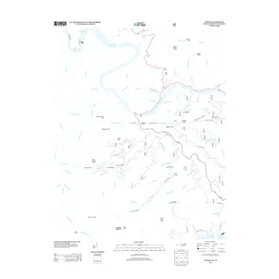
2013 Map of Tapoco
USGS Topo · Published 2013About this map
Tapoco sits at the heart of this rugged borderland where the Little Tennessee River and Cheoah River converge. This 2013 survey documents a landscape heavily influenced by hydroelectric development and mountain transit, notably where Calderwood Lake and Chilhowee Lake back up into the deep valleys. The winding path of Deals Gap remains a central feature for navigation between North Carolina and Tennessee, while various ridge-top markers like Sheep Wallow Knob and Cold Spring Knob define the steep relief of the area.
Find a feature on this map
101 named features on this map. Tap any name to fly to it.
Don’t see what you’re looking for? This feature index may not catch every label — zoom into the map to look around manually.
Map Details
Editions of this 2013 Tapoco Map
This is the sole edition of this map. No revisions or reprints were ever made.
Other maps of this area

1886 · Knoxville
USGS Topo · 1:125,000

1892 · Knoxville
USGS Topo · 1:125,000

1893 · Murphy
USGS Topo · 1:125,000

1894 · Knoxville
USGS Topo · 1:125,000

1895 · Loudon
USGS Topo · 1:125,000

1895 · Knoxville
USGS Topo · 1:125,000

1901 · Knoxville
USGS Topo · 1:125,000

1914 · Murphy
USGS Topo · 1:125,000

1927 · Big Junction
USGS Topo · 1:24,000

1933 · Haw Knob
USGS Topo · 1:48,000