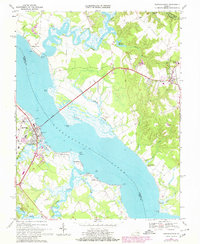
1968 Map of Tappahannock
USGS Topo · Published 1980About this map
The Rappahannock River serves as the central artery for this 1960s landscape, dividing the historic settlements of Tappahannock in Essex County from Warsaw and the riverfront landings of Richmond County. This coastal environment is defined by its complex tidal networks, including the meandering Cat Point Creek and Piscataway Creek, which supported a series of landings like Side Landing and Strangeway Landing.
Find a feature on this map
54 named features on this map. Tap any name to fly to it.
Don’t see what you’re looking for? This feature index may not catch every label — zoom into the map to look around manually.
Map Details
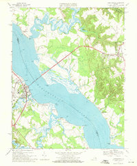
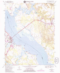
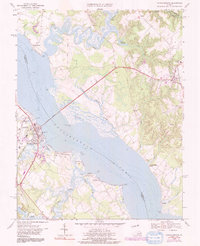
Editions of this 1968 Tappahannock Map
4 editions found
Other maps of this area

1892 · Piney Point
USGS Topo · 1:62,500

1892 · Montross
USGS Topo · 1:62,500

1894 · Piney Point
USGS Topo · 1:62,500

1895 · Nomini
USGS Topo · 1:125,000

1895 · Piney Point
USGS Topo · 1:62,500

1895 · Montross
USGS Topo · 1:62,500

1898 · Nomini
USGS Topo · 1:125,000

1901 · Piney Point
USGS Topo · 1:62,500

1917 · Morattico
USGS Topo · 1:62,500

1918 · Tappahannock
USGS Topo · 1:62,500