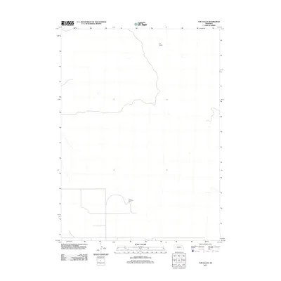
2011 Map of Tar Valley
USGS Topo · Published 2011About this map
Tar Valley defines the topographic character of this portion of Garden County, where the landscape is marked by the expansive drainage and subtle terrain of the Nebraska sandhills. The area is largely defined by its ranching heritage, anchored by the Fritzler Fair Haven Ranch in the southern portion of the quadrangle. This 2011 survey illustrates the sparse settlement patterns typical of the region, where wide-open rangeland is punctuated only by occasional section roads and isolated homesteads. The map provides a clear record of the rural infrastructure, including the geometric layout of local roads that serve the ranching operations and maintain connectivity across the valley floor.
Find a feature on this map
2 named features on this map. Tap any name to fly to it.
Don’t see what you’re looking for? This feature index may not catch every label — zoom into the map to look around manually.
Map Details
Editions of this 2011 Tar Valley Map
This is the sole edition of this map. No revisions or reprints were ever made.
Other maps of this area

1896 · Browns Creek
USGS Topo · 1:125,000

1899 · Browns Creek
USGS Topo · 1:125,000

1949 · Lynn
USGS Topo · 1:62,500

1950 · Storm Lake
USGS Topo · 1:62,500

1954 · Scottsbluff
USGS Topo · 1:250,000

1958 · Scottsbluff
USGS Topo · 1:250,000

1965 · Broadwater
USGS Topo · 1:24,000

1965 · Broadwater NE
USGS Topo · 1:24,000

1971 · Richardson Lake
USGS Topo · 1:24,000

1971 · Tar Valley SW
USGS Topo · 1:24,000